Trailforks Releases 3D Maps
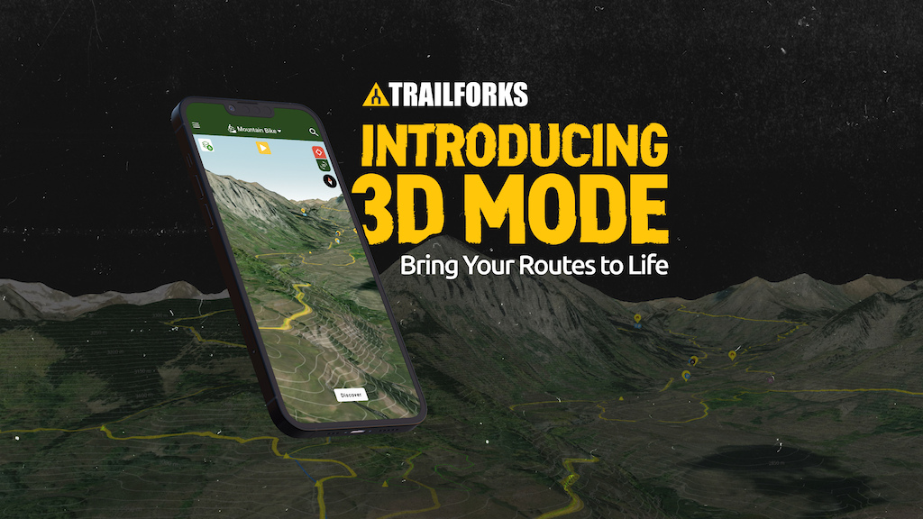
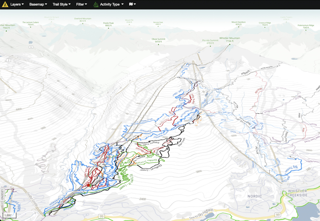
Visualize climbs, descents, and everything in between more easily than ever before. Trailforks’ trail maps are now available in 3D mode.
Whether you’re exploring new areas on your computer, or checking specific trails with the Trailforks app on your phone, you can see trails across the entire globe in three dimensions with the press of a button.
Introducing a Whole New Dimension
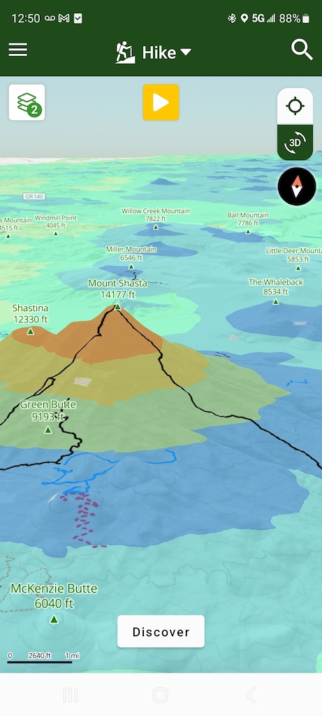
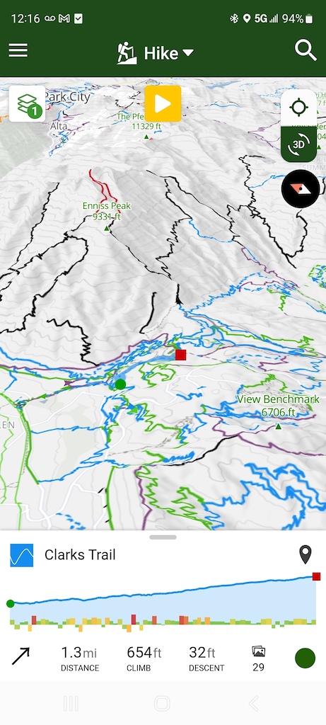
Three dimensions make maps more intuitive, like scouting the trail without actually riding the trail itself. Whether you want to spin up a mellow climb or mash the pedals up a wall, visualize the steepness of climbs and the sharpness of turns to better understand the challenges up ahead. Go 3D when piecing together longer routes or planning an extended adventure to get a deeper sense of what’s in store.
Conversely, find downhills that match your skills and adrenaline needs on a given day. When routes aren’t one way, examine them in 3D to get a sense of which direction looks more fun and flowy to you. Plus tour trails in 360 degrees to see what happens when you drop off the other side of the mountain, and tilt the map at any angle to see where the trail turns in the valleys.
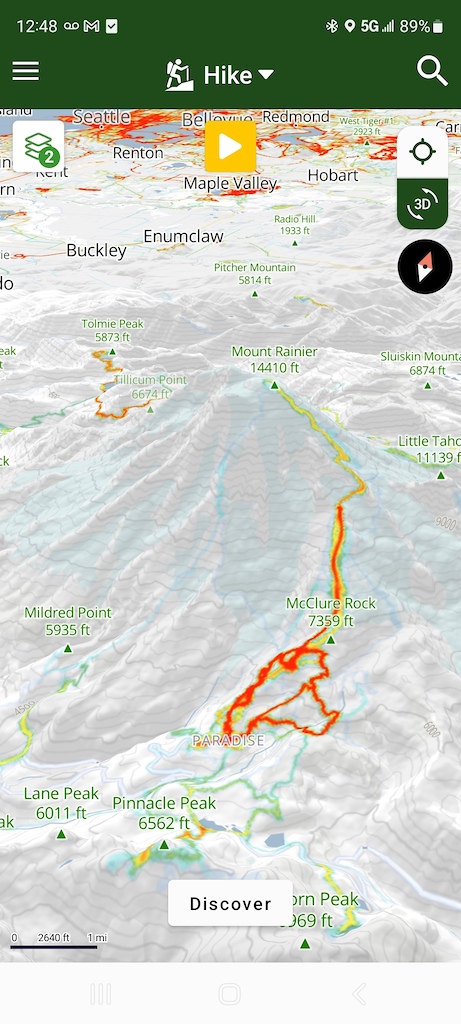
Enjoy the same level of map customization you’re accustomed to, just with an added dimension. Go 3D with any basemap, from the classic Trailforks Topo to Satellite imagery. Add and subtract any layer, from the Heatmap to the Precipitation Forecast. And change the trail style to color-code trails by everything from difficulty to when the trail was last ridden.
How to Activate 3D Mode
3D mode is available on trailforks.com and in the app.
3D on Trailforks.com
On the desktop website, click the “3D” button in the bottom right corner of the map. Get a 360-degree view and tilt the map up and down by holding the control button while moving the mouse.
3D in the Trailforks App
In the app, turn on 3D by tapping “3D” in the top right corner of the map, just under the locator button. Use two fingers to get a 360 view, and slide two thumbs up and down to tilt the map.
3D is Available to Everyone
3D mode is available to everyone with a Trailforks account. Create a Trailforks account for free on Trailforks, and download the app in the App Store (iOS) and Google Play (Android).
To unlock trails across the globe, upgrade to Trailforks Pro with Outside+. Trailforks Pro with Outside+ also gives you global popularity heat maps so you can find popular trails—or avoid them. Plus find dry trails by checking trail condition reports, and see where others have ridden most recently.
Disclosure: Trailforks and Pinkbike are owned by Outside Interactive.
Author Info:
Must Read This Week

The Trailforks app emergency page makes it easy to view and share your current location verbally over the phone or sending it as a TXT message.
Creating emergency routes is nothing something that would be scalable. Many riding networks have EMS muster stations and many regions add these to the Trailforks map with the + symbol.
example: www.trailforks.com/region/nelson-5259/?activitytype=1&z=14.6&lat=-41.28617&lon=173.30909
Tbh I rarely use Trailforks and did not realize that there was an emergency page. Thanks for pointing it out.
Maybe you have other problems with your phone?
We were smart about adding 3D to the Trailforks app, we only "turn on" 3D and load the 3d terrain tiles if the map is tilted, if its flat, then we added our own code to not load this data, saving network requests and likely battery use.